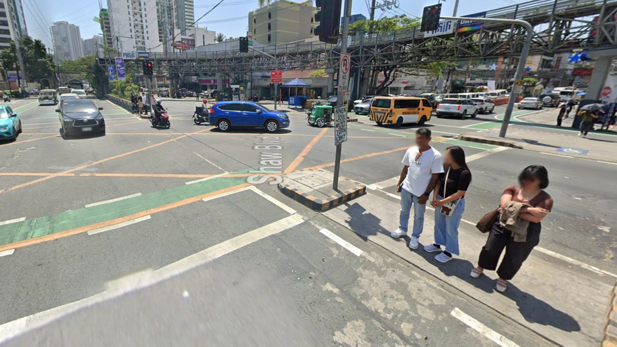
It’s been refreshing to see various local government units boost their efforts to improve overall mobility in their respective areas over the past few years. The need for this was highlighted greatly during the pandemic, and for many cities, addressing this continued even after COVID-19.
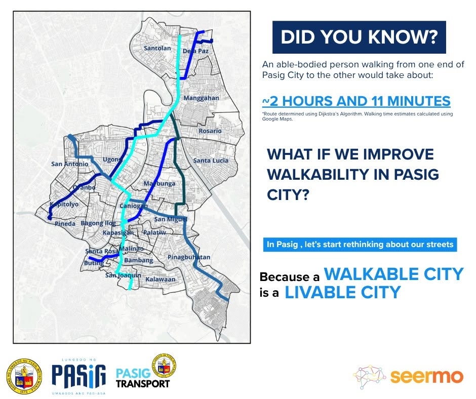
Pasig City is a good example of how consistent effort from the LGU can impact mobility for its constituents. Recently, the City Transport Development & Management Office shared via the Pasig Transport Facebook page that you can walk from one end of the city to the other in just 2hr11min. The way we see it, however, is that it’s more than just a fun fact—it’s a goal.
In May, Pasig City launched Seermo, a mobile app dedicated to improving roads and transport systems in its locale. Through this platform, app users can report both road incidents and infrastructure-related concerns in real-time. Responding promptly to the concerns of road users is something that the LGU has been known for, and this app is further proof that the LGU is dead serious about building a more walkable city.
OTHER STORIES YOU MIGHT HAVE MISSED:
Finally: Toyota PH confirms GR GT is coming to the Philippines
Official: The all-new hybrid Kia Sportage will debut on July 24
Since its launch, the Seermo app has also recorded a total of 543,428 pedestrians in different locations within the city, 7,654 of whom walk around Pasig City daily. These numbers also emphasize the importance of pedestrian-friendly infrastructure in these highly urbanized areas.

Circling back to that ‘2hr11min’ figure—the numbers also came with three important questions: Is it safe, comfortable, and accessible for all? Well, that’s where more of the efforts from the government should come in. Not to make the 2hr11min walk possible because in theory, it already is, but to make such a walk more ideal.
The post reads: “Kung mapapabuti natin ang paglalakad sa Pasig—mas maayos na sidewalks, mas ligtas na tawiran, mas malinaw na ruta—mas maraming tao ang pipiliing maglakad bilang bahagi ng kanilang pang-araw-araw na commute.”
At least for Pasig, it’s not geographically massive, unlike other cities in Metro Manila, so intracity transport on foot would be physically possible for most people. Of course, the infographic came with a disclaimer that the walking time was calculated using Google Maps and that it applies to able-bodied individuals, but when infrastructure truly prioritizes pedestrians, proper accessibility is also usually given emphasis.
Pasig City hasn’t exactly shared specific projects and their respective timelines, but considering how it’s been ramping up its pedestrian-focused initiatives in the past months, we’re expecting to see more in the foreseeable future.