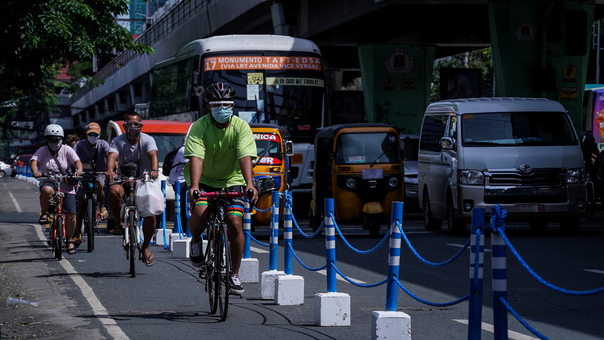
Yes, some local governments are already working to make Metro Manila’s roads more friendly to bike users. Thing is, the implementation of bike lanes leaves much to be desired depending on what area you’re riding through.
One minute you’re cycling on a wide, properly marked bike lane, and the next thing you know, it’s shrunk to half its size, and you’re faced with numerous obstacles such as lampposts or road work. Such is the life of the Filipino cyclist.
To help one another cope, some local cyclists and groups have begun mapping out and uploading bike lanes, hazards, repair stations, and other pertinent information to OpenStreetMap. The initiative is being supported by OpenStreetMap Philippines, LifeCycles PH, Bike Lanes Spotting PH, The Asia Foundation, and MapBeks. You can pitch in by going to this link.
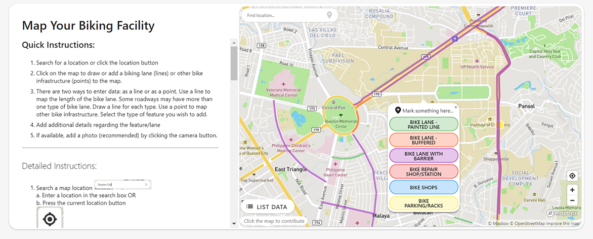
The entire process of helping with the map is simple: Just search for a location, click on the map, and choose what you want to plot from a drop-down menu. You can draw bike the length of a bike lane (you can choose from painted, buffered, or one with a barrier), or plot a point if it’s a repair station, bike shop, or bike rack. You can even add photos, too.
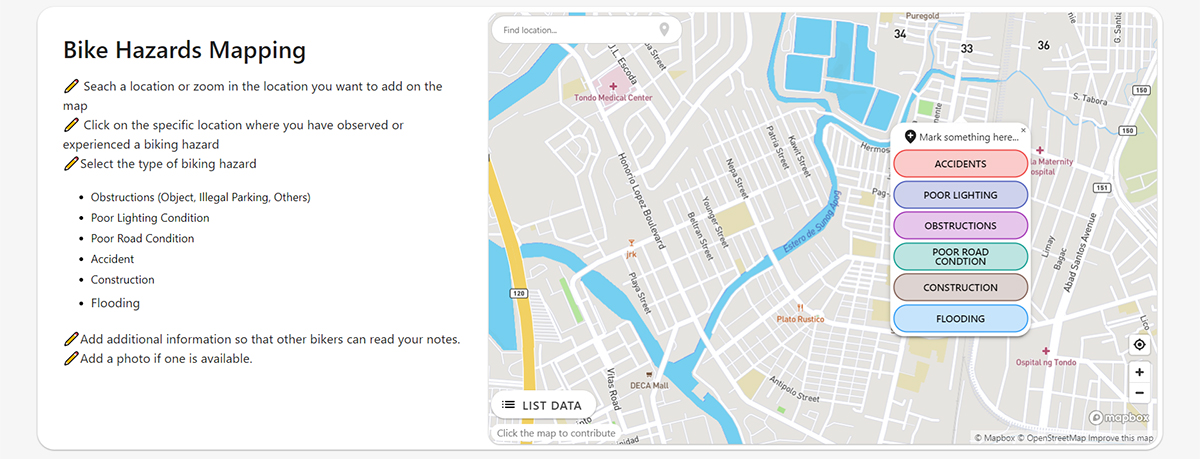
It’s pretty much the same process if you want to map out a hazard: Search a location, click on a specific point, and select what type of hazard you’re plotting. You can choose from obstructions and hazards like poor lighting, poor road conditions, accidents, construction work, and flood.
Good to see that local cyclists are coming up with ways to make roads safer for the average bicycle user. Now, if only some local governments could get in on the action, too.